There are several disciplines that will benefit from SMAP’s measurements. SMAP will help:
Monitor Drought

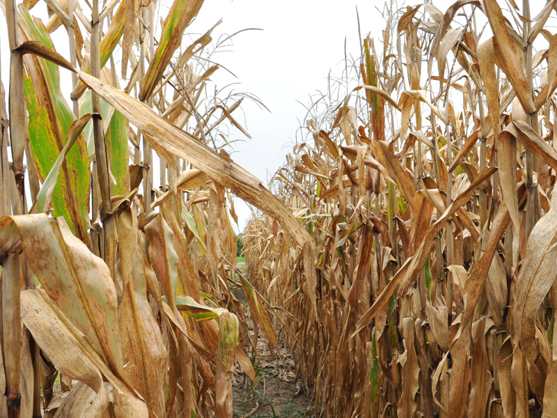
Because SMAP monitors soil moisture and provides critical information for drought early warning. In fact, a deficit in the amount of moisture in the soil defines agricultural drought. SMAP's measurements will come into play because researchers forecast a threefold increase in drought frequency in many regions of the world by the end of the 21st Century. History shows that a sustained drought can result in crop failure, deaths of livestock, and ultimately deaths of people. There is an economic impact as well. It is estimated that the 2012 drought in the Midwest led to harvest failures costing an estimated $30 billion. SMAP data has shown the ability of satellite data to monitor several flash agriculture droughts in the United States.
The National Drought Mitigation Center serves the U.S. by helping "people and institutions develop and implement measures to reduce societal vulnerability to drought, stressing preparedness and risk management rather than crisis management.
Improve Flood Warnings

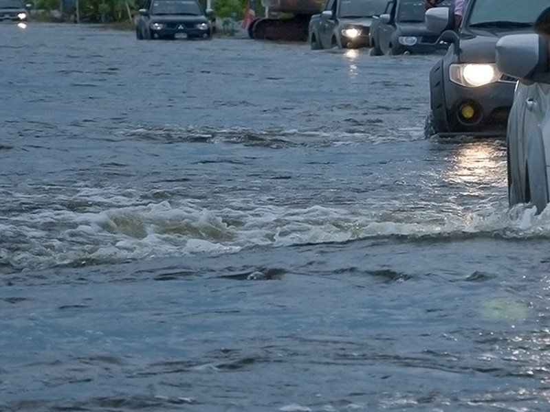
SMAP’s high fidelity measurements of soil moisture will improve flood warnings by assessing how wet the soil is before a rainstorm. Floods are the #1 natural disaster in the United States and they account for 40% of all natural disasters worldwide. Flooding is the leading cause of weather-related deaths in the United States. The National Weather Service produces a variety of resources related to floods. Flash flood guidance is updated at least every 24 hours based on surface soil moisture. SMAP's direct measurements of soil moisture will be at higher resolution than the information presently used. Losses due to floods here average billions of dollars per year. SMAP’s soil moisture data have shown ability to improve flood predictions by providing soil conditions before major storms.
Assist Crop Productivity

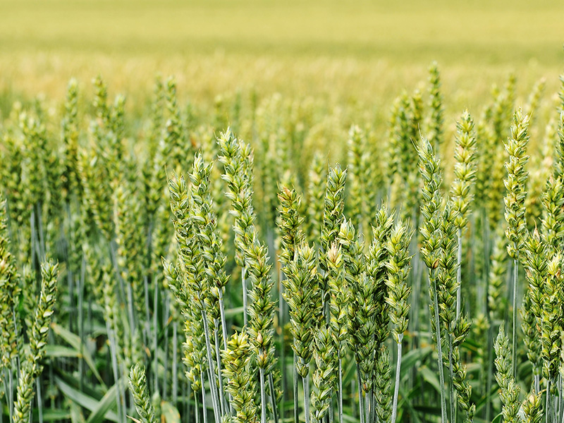
SMAP will provide information on soil moisture, which is critical for healthy plant growth, and will help improve crop yield forecasts and irrigation planning around the world. By indirectly monitoring global food production, SMAP will improve targeting of humanitarian food assistance. Studies estimate that climate change will increase the number of undernourished people worldwide in 2080 by 5-26%. SMAP’s soil moisture data has shown much higher spatial resolution and temporal sampling than the data being used by the United State National Agriculture Statistical Service for assessment of water sufficiency for crop growth.
Weather Forecasting

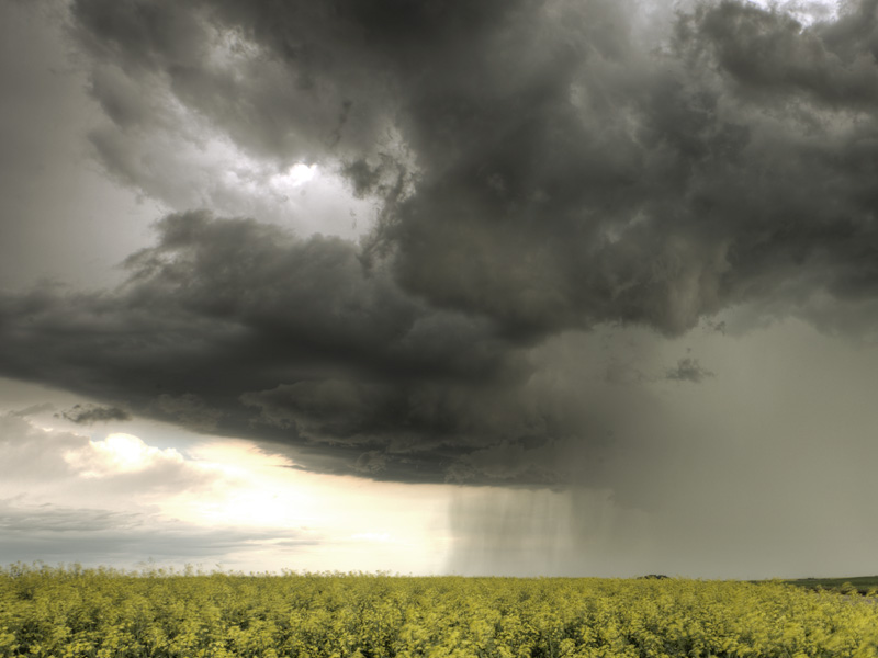
The amount of water available to evaporate from the land surfaces can be used by meteorologists to improve their forecasts of local and regional weather over spans of days to weeks. Forecasting the weather requires continuously observing the state of the atmosphere and including the level of moisture of the soil and water sources on the ground. Nearly 90% of the emergencies declared by the Federal Emergency Management Agency and approximately 70% of air traffic delays are caused by weather, at a cost of many billion per year. The United States Air Force has started to use the SMAP soil moisture data for weather forecasts in November 2019.
Linking Water, Energy and Carbon Cycles

The water, energy and carbon exchanges between the land and the air are linked together through soil moisture. Detailed monitoring of soil moisture provides a view of how our whole Earth system works. The health of Earth’s biosphere is dependent on the flow and storage of water, energy, and carbon. Our global climate and its future changes are dependent on how these major Earth cycles link and vary together. Global change is the major environmental challenge of our century, and its impacts can cause major shifts in how our societies will function in the future.


